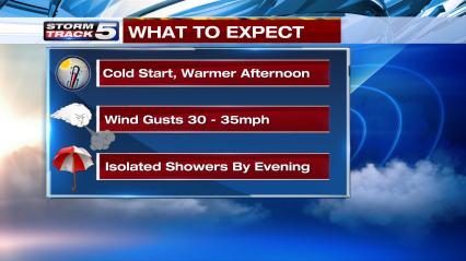
A classic Kansas City temperature swing is upon us after a brief shot of colder air Tuesday. Wednesday will certainly start very cold in the mid to upper 20s but a quick climb to near 60 will occur by mid-afternoon with a mix of clouds and sunshine.
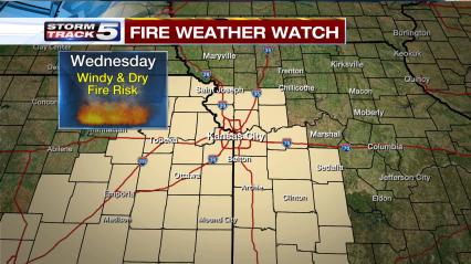
As temperatures warm under partly sunny skies, winds should strengthen quite a bit from the south. Frequent gusts to 30mph or higher is likely by early afternoon. This combined with low humidity levels and dry conditions will again create favorable fire weather. Much of the area is under a Fire Weather Watch given these conditions which could be upgraded to a Red Flag Warning.
A fast moving low pressure system will pass through by Wednesday evening with spotty rain showers. The best chance to see a little rain is from the KC metro and areas to the north. Further south the rain chance is lower but not 0%.
This system will ultimately strengthen into a stronger storm but not until it is east of our viewing area. So rainfall amounts will be light and spotty unfortunately.

Wednesday Morning: Partly cloudy and cold

Wednesday Afternoon: Partly sunny, warm and windy

Wednesday Early Evening: Isolated rain showers possible

Wednesday Late Evening: Sprinkles or rain showers in the area

Very light rainfall amounts in the forecast
Chris Suchan
Chief Meteorologist
KCTV5/KSMO
Twitter: @ChrisSuchanKCTV
Facebook: https://www.facebook.com/Chief-Meteorologist-Chris-Suchan-361521570703480/

Leave a comment