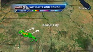
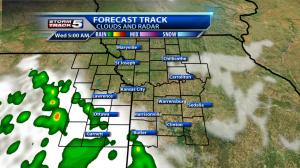
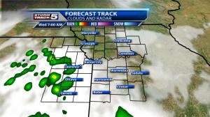
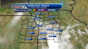
After a couple of very active days, it was a nice change of pace to enjoy a sunset and calm conditions. That will change for parts of the area however late tonight as another scattering of showers or thunderstorms move in around or after 4:00am.
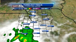
Storms are developing around Wichita near a warm front and strengthening overnight belt of winds just off the surface (nocturnal low level jet). This activity will likely move northeast through the night and make a run at our western / southwestern sections of the area first then try to slip into the metro near sunrise.
At this point, conditions are not favorable for severe storms. Some lightning, downpours and perhaps very small hail would be possible from the strongest storms. Keep in mind, the rain chance is 40% in the morning dropping to 20% by early afternoon. Many areas will not see rain through the course of the day.
By the afternoon, temperatures warm into the upper 80s with a few spots near 90 with enough sunshine. Breezes will kick up from the south around 10 – 20mph.
Thursday looks sunny and hot with highs near 93 along with a gusty wind from the south – southwest.
Cooler conditions will arrive Friday with skies becoming mostly cloudy and rain chances increasing to 60% as we progress through the day into Friday night. Highs in the lower to mid 80s.
Chris Suchan
Chief Meteorologist
KCTV5/KSMO
Twitter: @ChrisSuchanKCTV
Facebook: https://www.facebook.com/chris.suchan
